When you move to a new neighborhood, you want to know how far you’ll be from the nearest amenities. Will you need a car for every errand or can you walk to stores and cultural outposts?
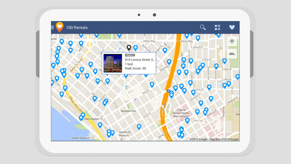
Thanks to a new site called Walk Score, you can now determine the “walkability” rating of thousands of neighborhoods.
The site considers a variety of factors (location of amenities, proximity of public transport) and assigns your neighborhood a numerical convenience grade. It ranks each neighborhood on a scale from 0 (totally car-dependent) to 100 (Walker’s Paradise).
To give you some sense of rankings, Manhattan’s Tribeca scores 100 while Atlanta’s Buckhead earns a 61 (which makes it “somewhat walkable”).
To date the simple yet comprehensive site covers more than 2,500 neighborhoods in 40 major American cities.
When you enter an address or neighborhood the site generates both a walkability score and a detailed map with nearby recreational, commercial, cultural, and social points of interest. This is useful if you’re visiting a city and want to see how your hotel ranks.
But Walk Score’s greatest return on investment lies in its utility as a tool to guide real estate purchases, since walkability is generally linked to increased financial value (i.e. more walkable neighborhoods command greater prices).
So walk (or run) to the site today.


